Why did AUT get involved?
Gregory Bennett (Head of Digital Design and Visual Arts at the School of Art & Design at AUT) says, “This was an exciting opportunity for AUT students and researchers to work on a real world project that is also at the cutting edge of how new technologies – such as VR – can bring important heritage sites and their stories alive for the public.
We were really well-placed to do this. New Zealand is a world leader in cutting edge technologies – and that innovation can be applied in many areas. VR calls on animation, game design, visual effects and motion capture, and not just for entertainment. It’s another level of experience to be able to be completely immersed in a heritage site that not many people are ever going to be able to visit.”
This was a cross-disciplinary project – digital designers working with scientists, but everyone speaking the same language technically dealing with 3D data, especially including the photographic element.
How did they do it?
To put it very simply, a laser scan was done of the exterior and inside the hut. The scanner essentially picks up thousands of points in space, creating a 3D snapshot. Thousands of still photographs were also taken.
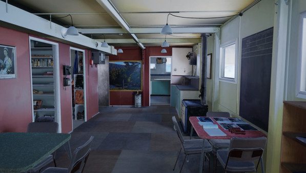
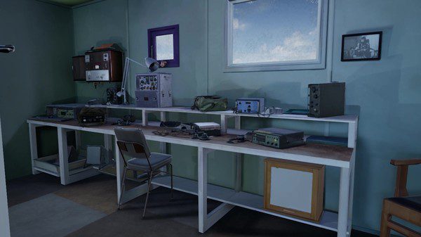
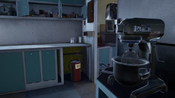
Both sets of data were then fed into a photogrammetry programme called ‘reality capture’. These huge data sets then had to be crunched down into something manageable to use in VR. The digital designers ‘cleaned it all up’ to make it ready for a game engine to create the VR. The game engine could then be used to scale it all to a life-size model.
From there, two versions were created; one is a fully immersive and interactive experience available for free on gaming platform Steam and through public exhibitors using the HTC Vive headset.
Technical voyage of discovery
In the same spirit of Antarctic exploration, creating the immersive VR was its own voyage of discovery. “There was no text book,” says Greg.
“This was a real R&D project. The students were troubleshooting and problem solving – it was tremendous for them to see how their own research can become valuable. A real highlight was seeing people’s reactions even to the earlier, raw version of the interior. We could say ‘this is working!’”
Using VR to Tell Stories
Ultimately, technology like virtual reality is there to tell the story in the best possible way. The Trans-Antarctic Expedition and the International Geophysical Year is a tremendous story.
Rose Nichol-Foster was the researcher of content for the project. With a degree in Marine Biology and Conservation, Rose has always been interested in Antarctica. Inspired by her involvement in the VR project, she has now completed a post-graduate certificate in Antarctic Studies, and has had the opportunity to go down to the Ice. “I feel very lucky to have been involved.”
As the researcher she did a lot of reading and watching videos. “The material in the New Zealand Film Archives is really cool.” When it came to writing the script for the VR, the challenge was to look at all the ideas the research had thrown up, “… and cut them back to what was possible. I tried to imagine what people would like to do. VR is a huge tool to create connection. We have to keep human presence in Antarctica in check but VR can help people have a stake in it. When people experience it, I really hope they come away feeling proud of the New Zealand connection to Antarctica.”
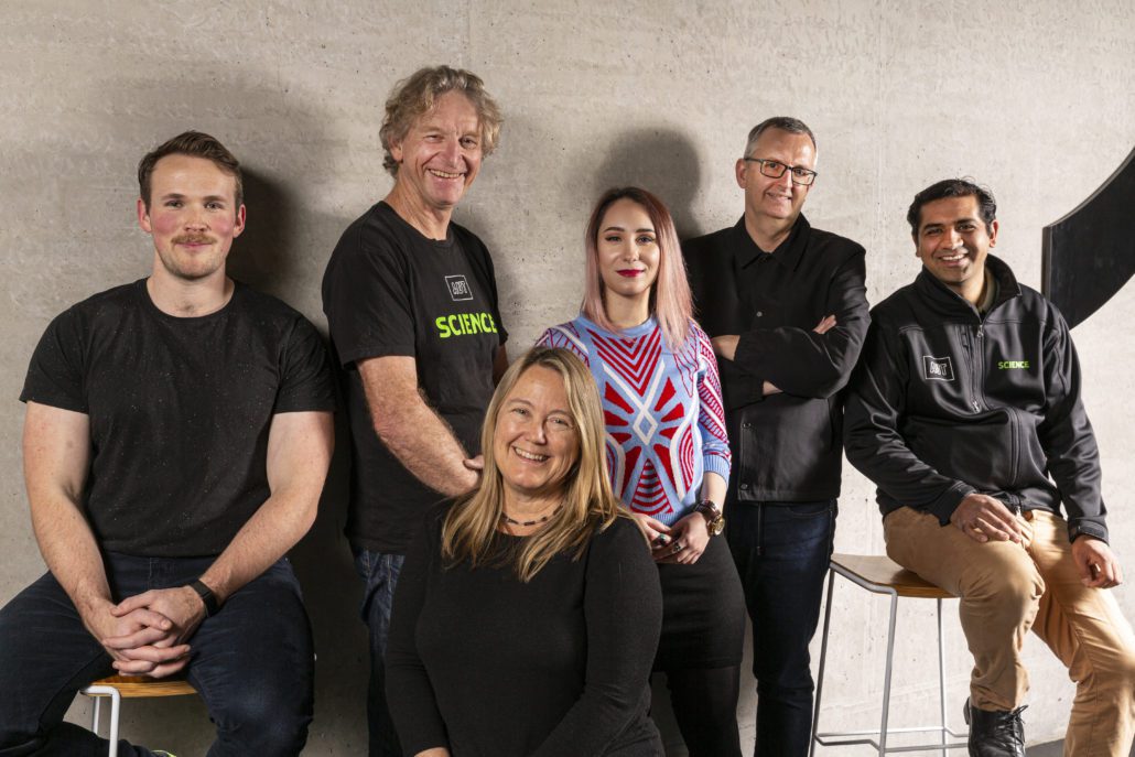
The Team Involved
Staples VR
Producer – Aliesha Staples
Game Developer – Helen McGregor
Game Developer and Programmer – Krystal Paraone
Liam Bell – Game Developer
AUT Project Leads – VR Development and VR Capture
Gregory Bennett – Head of Department, Digital Design and Visual Arts Associate
Professor Barbara Bollard – Conservation Ecology and Remote Sensing
VR Development/photogrammetry/3D modelling
Jade Paynter: Master of Design student
Rebecca Hand: Master of Design student
VR optimisation/3D modelling and texturing
Katarina Markovic: PhD in Art & Design student
VR Interaction Design
Lee Jackson: AUT Motion Capture lab technician
Science Students
Rose Nichol-Foster – Undergraduate student in Applied Conservation
Julia King – Master of GIS student
Ryan Smith – Master of GIS student
Stace Ellis – Master of GIS student
Science Staff
Ashray Doshi – UAV Systems Engineer and Remote Sensing Specialist
Professor Len Gillman – Conservation Ecology and Biogeography
Dr Melinda Waterman – University of Woolongong, Aus – Biotechnologist
Script Development
Gregory Bennett
Rose Nichol-Foster
Francesca Eathorne
Voice Over
Isobel Ewing
Images and Audio Courtesy of
Antarctic Heritage Trust
Antarctica New Zealand Pictorial Collection
Archives New Zealand Te Rua Mahara o te Kāwanatanga
Kamen Engel
Peter MacDonald Collection
Archival audio in this production is from the RNZ collection at Ngā Taonga Sound & Vision
With special thanks to Peter Hillary and the Antarctic Heritage Trust Inspiring Explorers Fund donors.
The Trust acknowledges Antarctica New Zealand for their logistical support to capture the initial data and the RNZ collection at Ngā Taonga Sound & Vision for archival audio in this production.


